|
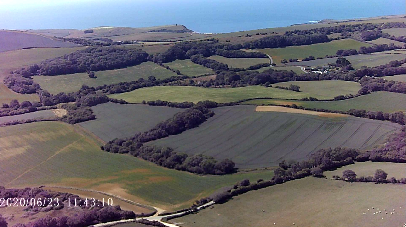
Purbeck SE slope (public site)
Access updated by David Bicker 16 May 24

Photo by David Bicker
Map reference SY 922 818/What 3 Words "delusions.driven.mincing"
Wind direction SSE to ESE
Open gate and drive along Ridgeway from the Cocknowle end to the parking area at the top of the hill.
Usually cattle in field. Remember to shut the gates.
There is a different route, Approaching from the west side of the field.
Take the Wareham by-pass towards Corfe Castle/Swanage (A351). Turn right at the Stoborough Cross roads, onto Grange Road. Pass the sign for Creech. About a mile further, there is a crossroad junction in a dip in the hills.
Creech Grange stately home is to the right down a driveway. Turn left opposite that & drive up the hill to its highest point, on a corner in the road (small lay-by on the left).
At this point there is a dirt track straight ahead of you. Take that (50m to a farm gate). Go through & close the gate (cattle may be in the field).
Drive up to the top of the track & park up against the fence in front of you, to the left of the farm gate. We only have permission to park at that location.
(by David Bicker)
|