CHRISTCHURCH AND DISTRICT MODEL FLYING CLUB
55 YEARS OF MODEL FLYING
BMFA AFFILIATION NUMBER 2581
|
ST CATHERINE’S HILL
by Rob Ashby and Mike Roach
PLEASE NOTE - THE HILL IS A NATURE RESERVE AND BCP RULES DO NOT PERMIT MODEL FLYING THERE.
IT IS NO LONGER A CLUB-APPROVED SITE FOR FLYING
NOTE - Although the Hill is a public place, it is also an SSSI and, just as important, within the Bournemouth Airport Controlled Airspace.
So please, before flying, contact the Air Traffic Control (ATC) on 01202 364150 to requst permission to fly (I suggest you use Rob’s format below). If you can’t get in touch with the ATC, don’t fly!
The north-facing slopes are also a breeding area for ground-nesting birds, 1 March - 31 July. If you land out, take very great care when recovering your model. If you take a dog, it must be kept on a lead in these months - Ed

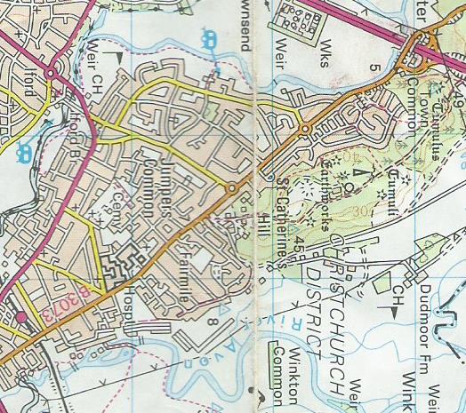
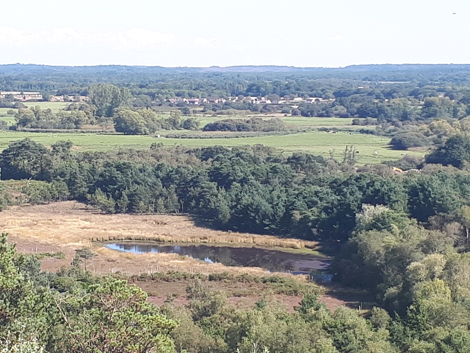
The Hill is to the NW of Christchurch, above the B3073 Fairmile road. Turn right at the second of the two roundabouts out of town, take the first left then right and park on the residential roads. There is an entrance to the area here - there are three or four more around the base of the hill. At the top you look out over the Avon valley. The slopes are where it says “Tumuli” on the map - Ed

“The Hill was a regular Christchurch Club stop back in the late 70’s through to the 80’s (and it was on the paper “where to fly” sheet I was given when I joined in the late 90’s - Ed) I remember well looking out of the School window seeing a NE wind and getting excited about anc cycle there with model under my arm after they let us out. I think it became less popular in the 90’s as the small trees had become too big and in my case I met Girls so stopped going!
During lockdown I started cycling again and went over that way to explore and saw that like everywhere in Dorset a lot of the trees have been cut recently making it a great little NE slope. My girlfriend had luckily bought me a new slope soarer at Christmas and I had only flown it the once (first time in 10 years) at Win Green and the day after Lockdown 3.0 hit. Luckily as they lifted the Restriction we had NE winds so I took a trip to St Catherine’s. The Christmas type trees are a lot smaller than they look in the video, but unfortunately in a few years I suspect they will start to be a problem. Many dog walkers have stopped and had a chat the times I have been there and one even said they used to fly up there back in the 80’s as well. How nice it is to fly my toys and not have anyone moan at me. A completely different response to drone flying when I realised the Public hate drones!
It does get bumpy and the landing area is small so not for beginners but any foamy or wing thing is perfect. The Council have even put a nice bench there for our Picnic after visiting the South African shop on the way to the estate to get Biltong. If you fancy having a look there are all sorts of ways to get to the slope but basically I recommend a walk the first time. Drive past all the shops and park up the top and walk through the gate and straight North to the far side. From there head left and the slopes facing North East and another More east are along there. I managed to slope quite a long distance along the ridge in both directions even where the trees are as once you get airborne the air smooths out and it was very relaxing.
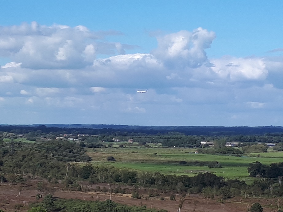
One more thing that end of the hill is just inside controlled airspace so I did make a quick call to the tower to let them know I was there. ATC is always OK with that.. If you have not done that before the key is to tell them the model weight and that you are staying at tree height or below. When I called them I added that I would be no more than 50ft from the hill and they gave permission no problem and asked me to just call and let them know when I finished which is important to keep everyone happy.”

(See what I mean? - Ed)